This algorithm provides a simpified access to the geocoding endpoint.
It can be used to assign geographical coordinates to textual data such as addresses.
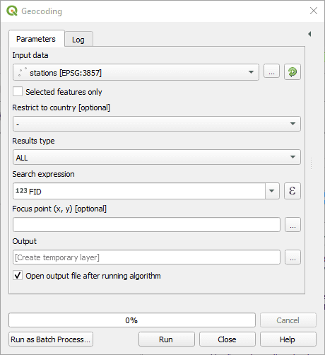
Input data: The input layer. This layer should have attributes representing an address or a location name.
Restrict to country: Only return the results that are within the specified country
Results type:
ALLwill return several results per input, corresponding to all potential matches returned by the API.BEST_MATCHwill only return the best point.
Search expression: The field containing the query to geocode. Can be an address, a postcode or a venue. For example SW1A 0AA or Victoria street, London. Providing a country or city the request will get you more accurate results
Focus point: This will prioritize results around this point. Note that this does not exclude results that are far away from the focus point
Output layer: Where to save the output layer. If you leave this empty, the result will be loaded as a temporary layer. It is still possible to save a temporary layer afterwards by right-clicking it in the legend and choosing “make permanent”.
This algorithm provides a simpified access to the reverse geocoding endpoint.
It can be used to assign a textual address to geographical coordinates.
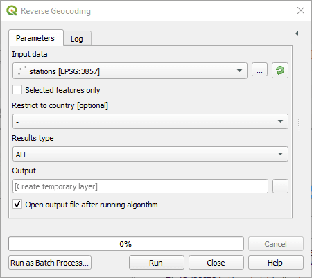
Input data: The input layer. This layer must have point geometries.
Restrict to country: Only return the results that are within the specified country.
Results type:
ALLwill return several results per input, corresponding to all potential matches returned by the API.BEST_MATCHwill only return the best match.
Output layer: Where to save the output layer. If you leave this empty, the result will be loaded as a temporary layer. It is still possible to save a temporary layer afterwards by right-clicking it in the legend and choosing “make permanent”.