Visualising the reachable area within 45 minutes travel by public transport from two locations in New York

Calculating which customer stores are reachable within 3 hours travel by public transport from a central London office location

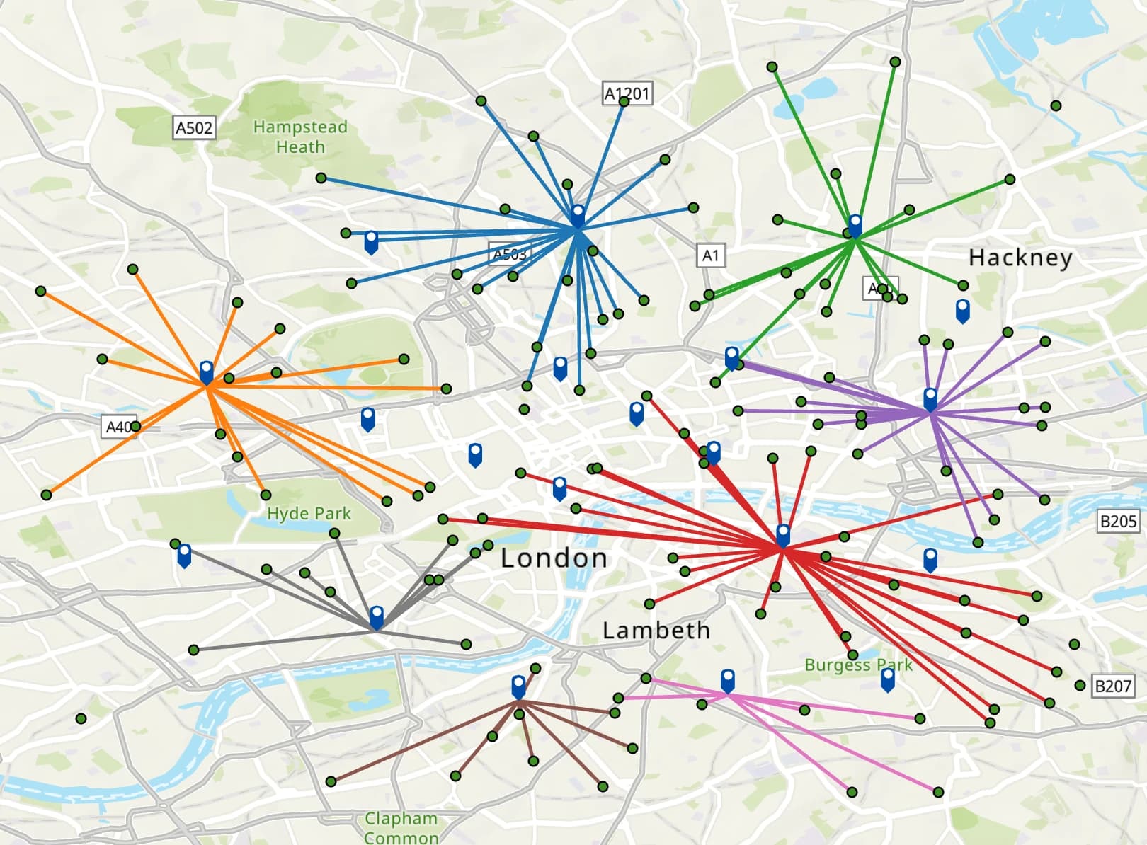
Calculating the fastest routes from central office to a number of different client sites

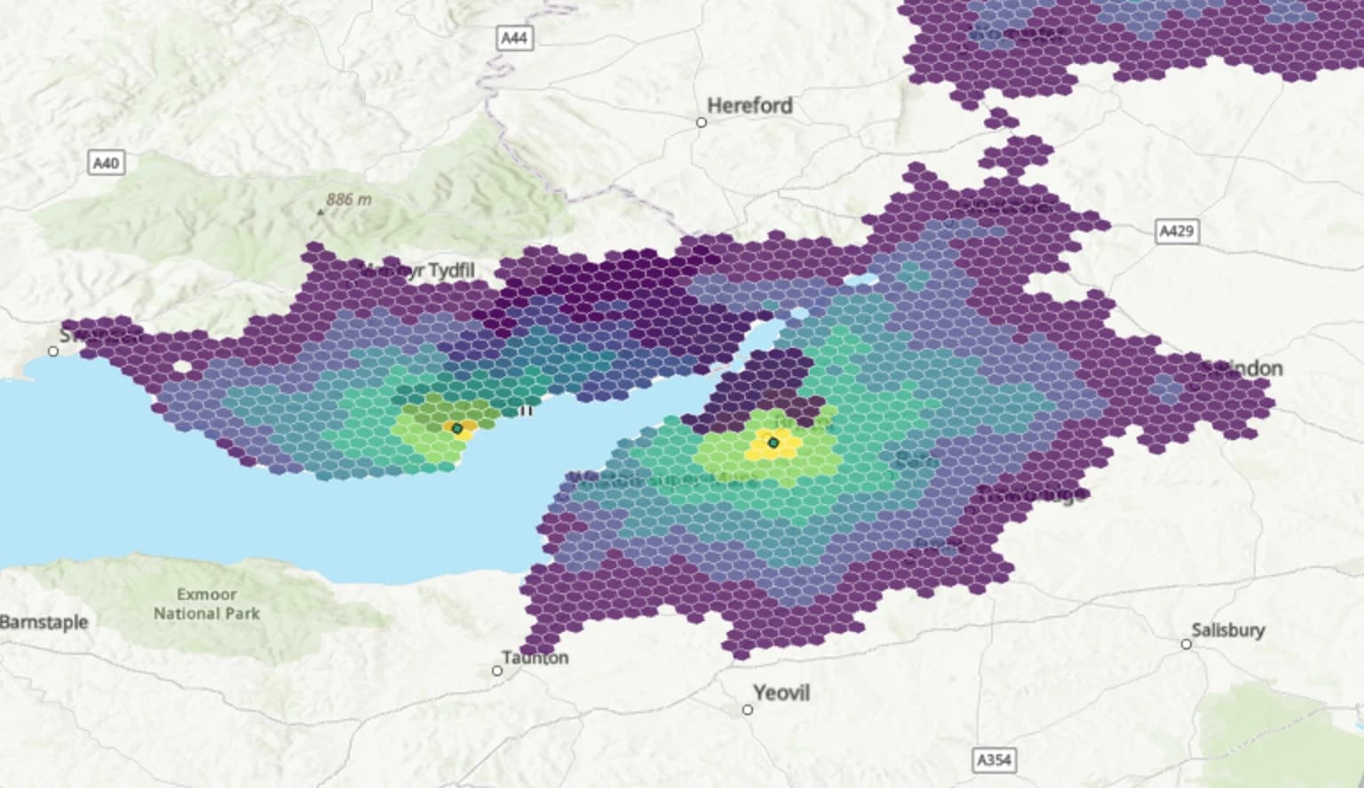
Travel times to H3 cells at resolution 7 from two locations, in Cardiff and Bristol
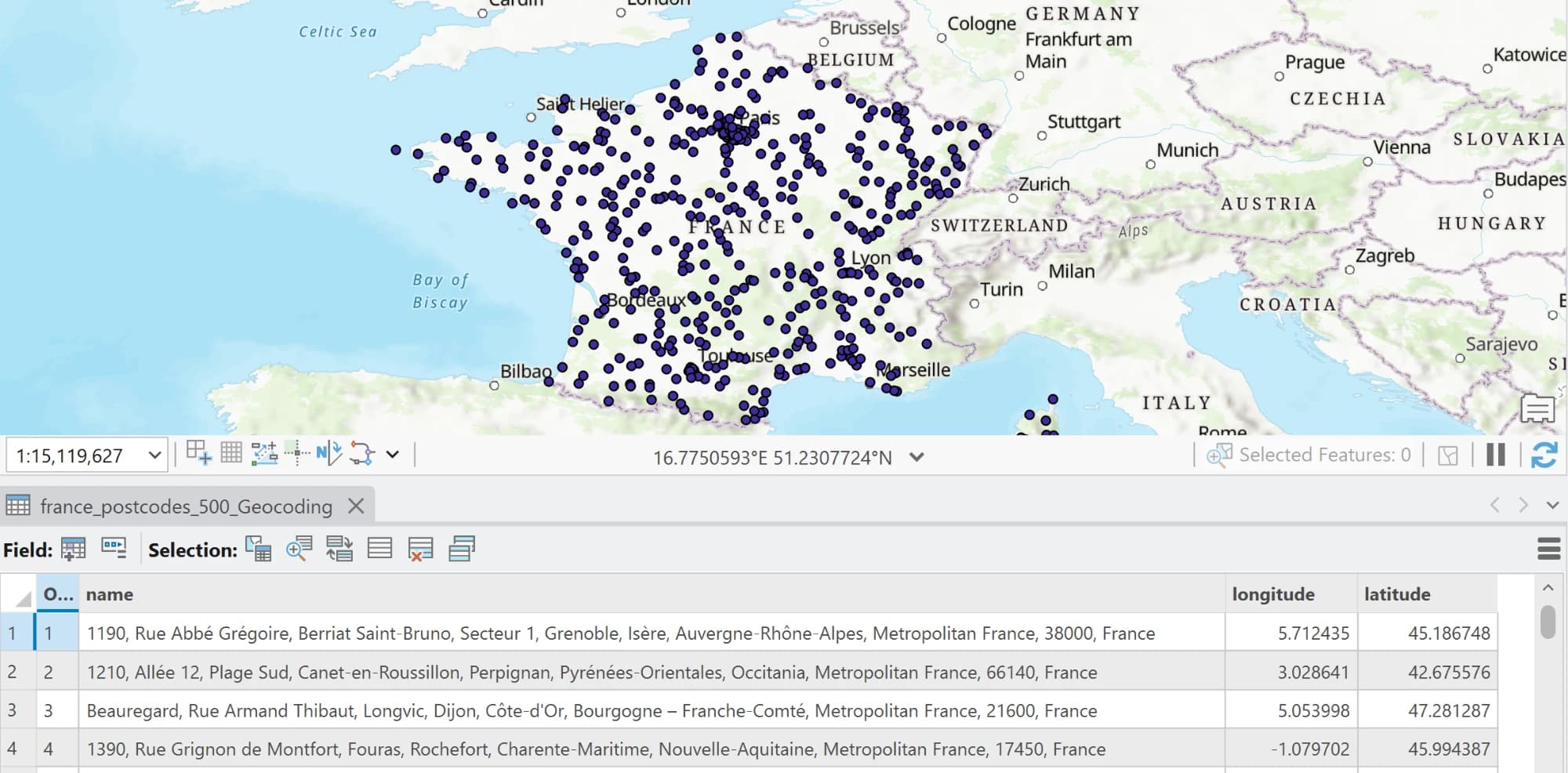
Geocoding 500 addresses in France into a point layer, ready to use as the input to the other tools
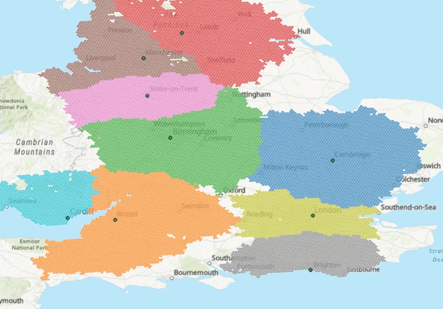
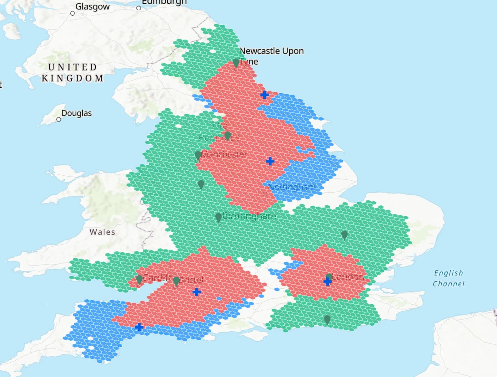
Territories for nine locations across England and Wales, giving each H3 cell (resolution 7) to the location that reaches it quickest by car
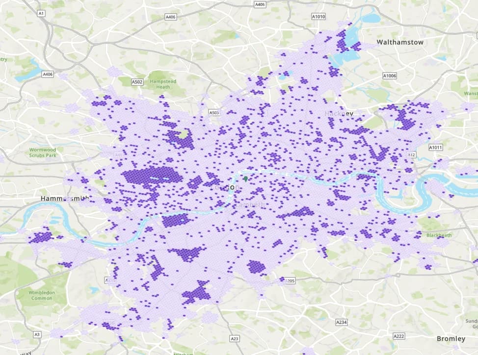
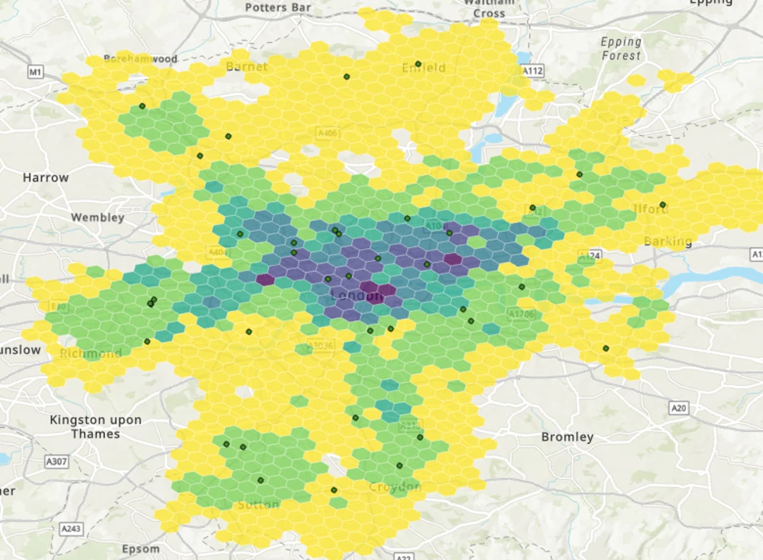
Finding the most reachable areas of London: how many of 37 locations can reach each H3 cell within 30 minutes by public transport
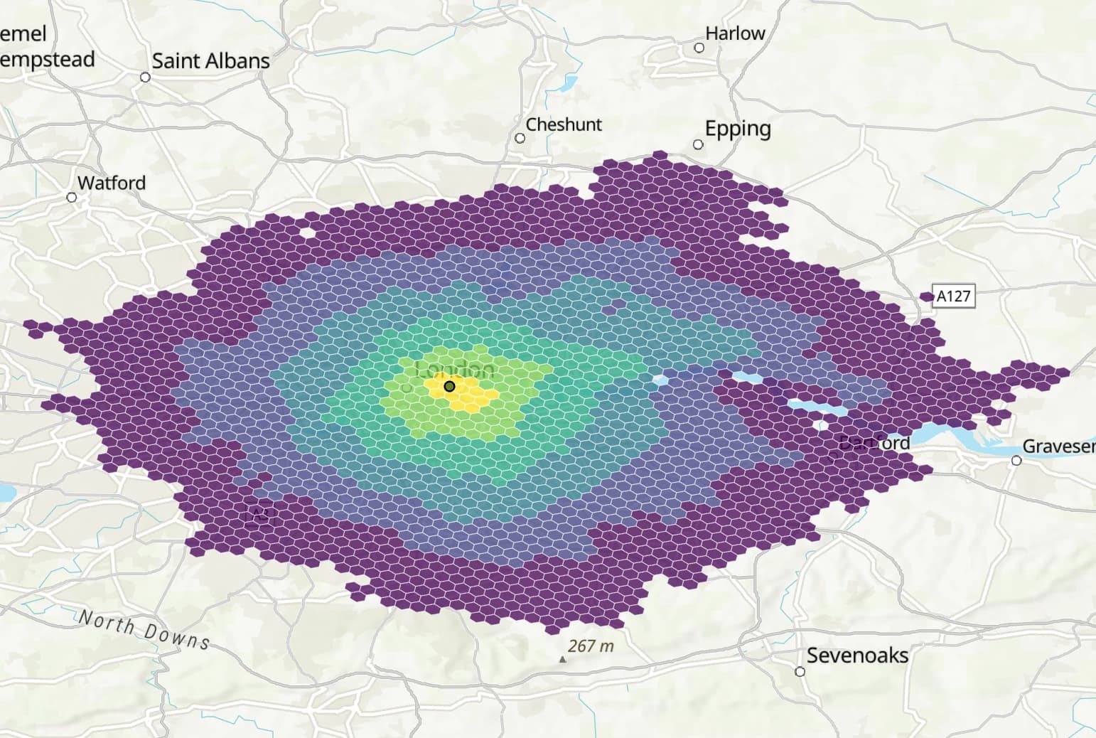
Drawing 10 minute travel time rings from a location in central London
Calculating the cannibalisation areas between 10 existing sites and 5 new sites, and the new market the new sites would add
Selecting 8 sites from 20 candidates in London, using the Minimize impedance problem type for public transport access
Showing the reachable green spaces within a 30 minute public transport journey from a central London location