
This documentation covers all features of the TravelTime plugin for ArcGIS Pro.
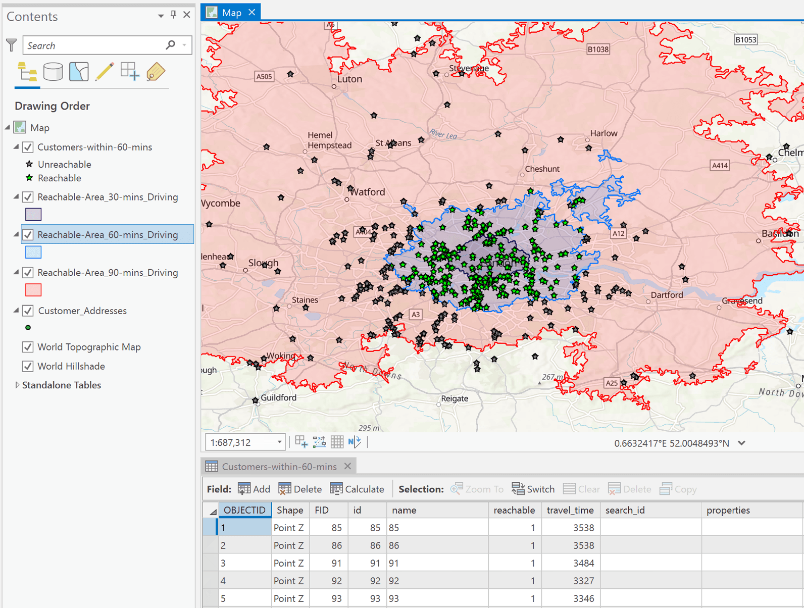
The simplest way to access the core functionalities of TravelTime (Isochrone, H3, Travel Time Matrix, Routes, Data) is through the Quick Tools available in the toolbar.
These tools need minimal parameters and run from a single location: pick a point on the map, or enter an address or coordinates.
Isochrone
Create isochrones (travel time polygons) that visualise where's reachable within a time limit.
H3
Show the H3 cells reachable within a time limit, coloured by travel time.
Travel Time Matrix
Get the travel times from one location to every point in a layer, and which are reachable within a time limit.
Routes
Returns route and turn-by-turn directions between an origin and destination.
Data
Get demographics, places, open spaces or neighbourhood data for the area reachable within a time limit.
The full functionality of TravelTime is available through the TravelTime toolbox, where each tool runs off existing layers as its inputs. The tools are grouped into five toolsets:
Core- Isochrone, Travel Time Matrix and H3 tools on TravelTime's Core (/fast) endpoints. Quicker, especially for large scale analysis, but with fewer configurable parameters.Custom- the same three tools using TravelTime's Custom endpoints, with the full range of configurable parameters.Location Analytics- tools that apply some logic on top of requests to the TravelTime API: Territory Map, Reachability Heatmap, Doughnut Areas, Cannibalisation, and Location Allocation.Other- Routes and Geocoding tools.Data- TravelTime Data API layers (Demographics, Places, Open spaces and Neighbourhood) for a layer of H3 cells, or for the area reachable from each of a layer of points.
This tutorial covers the basics of using the TravelTime ArcGIS add-in.